Course Facilitator: Mr. Kennedy Nazombe
Greetings and welcome to this course!
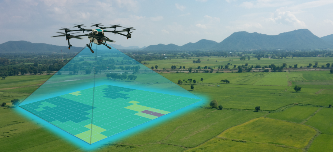
This course aims to provide you with a comprehensive understanding of the principles, techniques, and applications of Photogrammetry and Remote Sensing. By the end of this module, you will have a strong foundation in the collection, analysis, and interpretation of spatial data obtained from various remote sensing platforms, including satellites, drones, and aircraft. We will explore the fundamental concepts of electromagnetic radiation, sensor technologies, and image processing techniques, alongside practical applications in land administration, and more.
This course not only equips you with the theoretical knowledge but also provides them with the practical expertise necessary to apply remote sensing and photogrammetry in real-world scenarios.
Upon successful completion of this course, you should be able to:
- Student: Isaac CHIZUNGU
- Student: Samuel KAMWENDO
- Student: Vincent KAPIRA
- Student: Steward MAGOLA
- Student: Andrew MITHI
- Student: Fredric NAZOMBE
- Student: Limbani THINDWA